Odra Trail – The lower barrage – Burgher’s Lock [19]
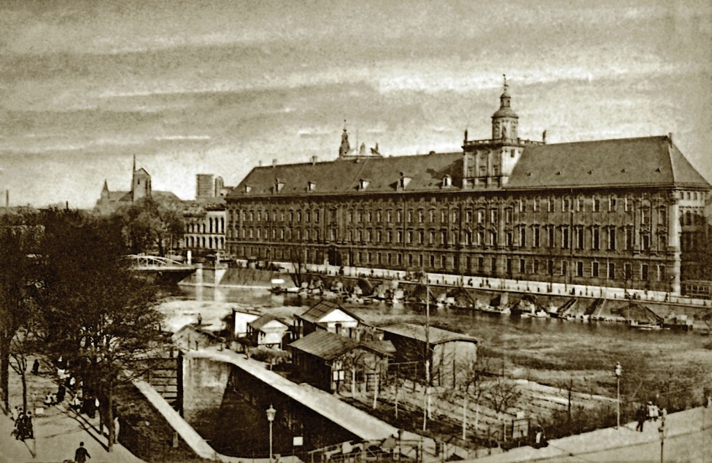
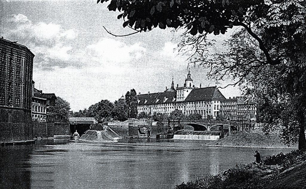
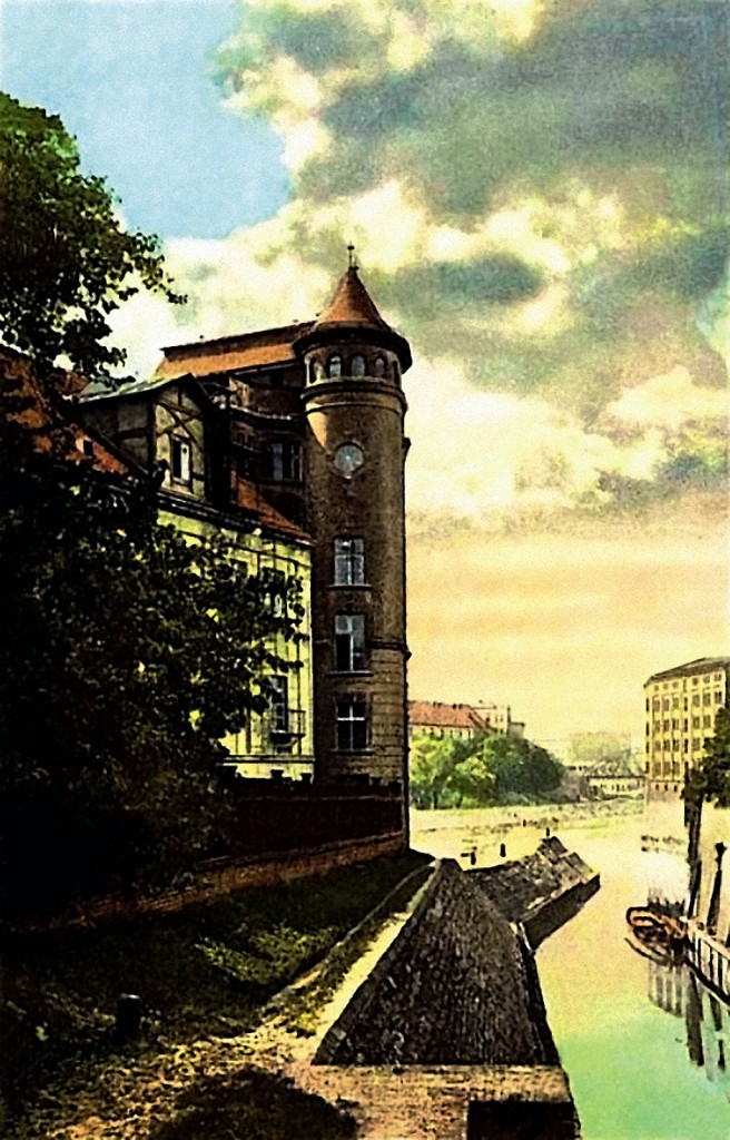
Operation of the upper Sand Barrage led to erosion of the bottom, resulting in the river below the barrage deepening significantly. These favourable conditions for accumulation of water were used to create a lower Mieszczański barrage. At the level of the island – Kępa Mieszczańska built were weirs and accumulated water was supposed to power wheels of the mill, which was built here in 1334 by a merchant Mikołaj Wierzynek. In addition to greistmills on the island were built other plants using hydropower: fulleries, malt houses, oil mills. From the sixteenth century on at the southern branch of Odra operated a city port.
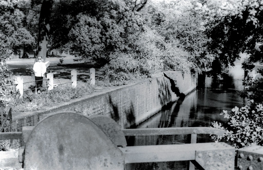
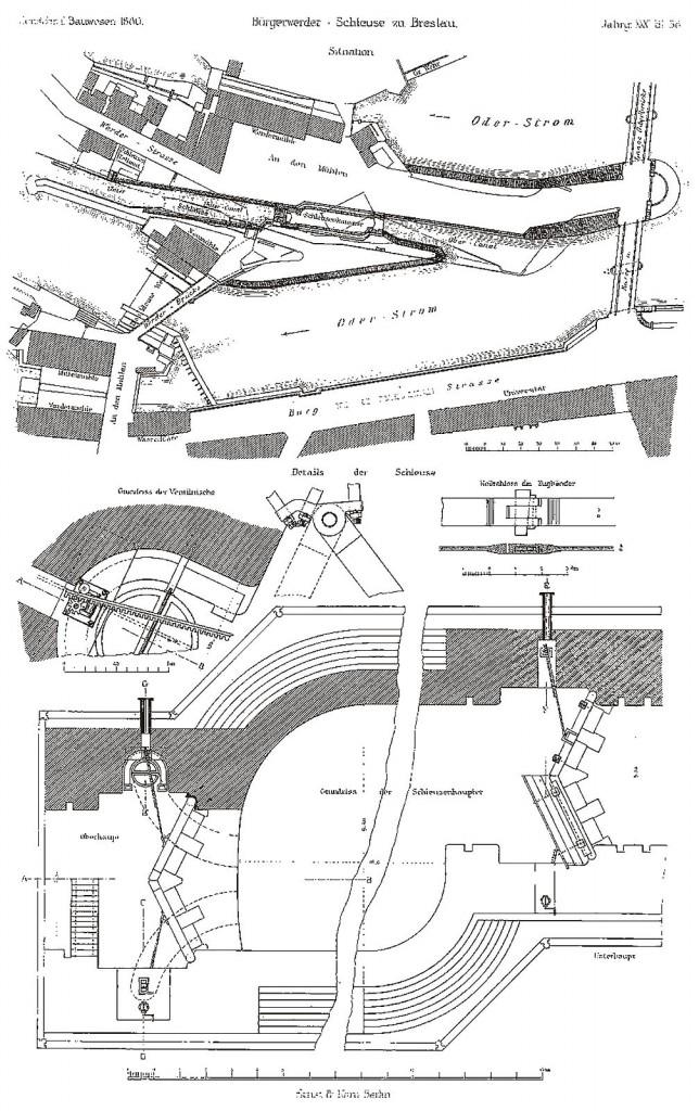
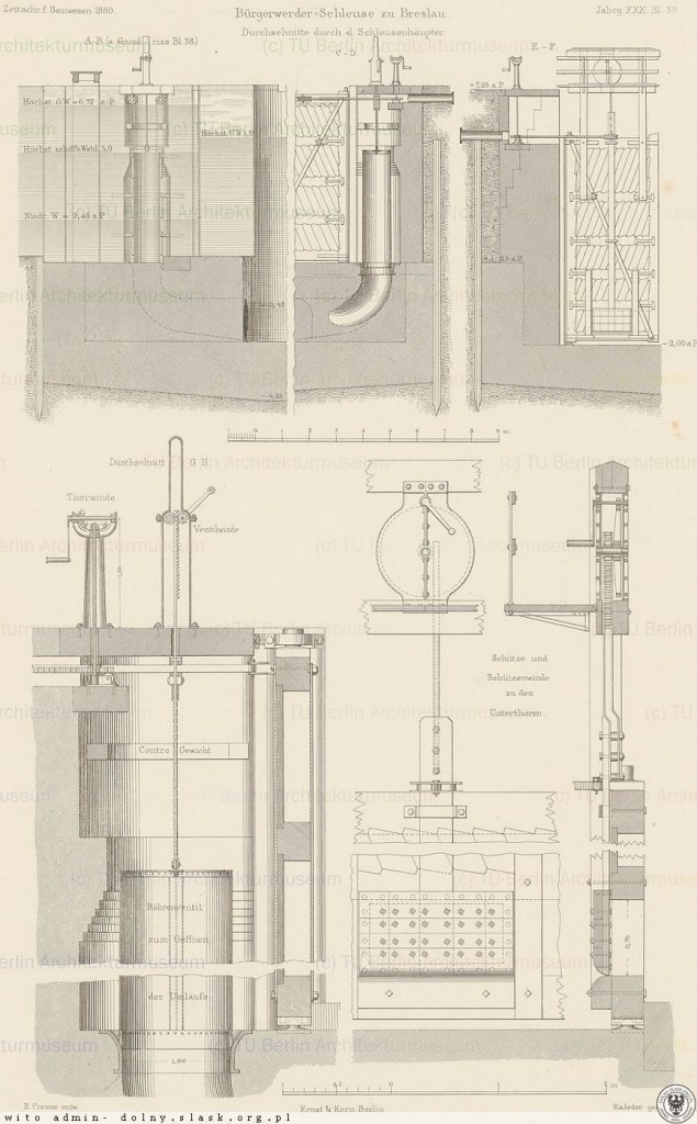
To clear Odra and allow for shipping and transporting goods, in 1791-1794 built was the Burgher’s Lock. It was a wooden lock chamber with a length of 37 metres, which – due to increased traffic on Odra – quickly proved to be too small. And so in 1874-1879 built was a new, brick lock, moved (compared to the wooden one) up Odra. Its canal was extended on one side, which allowed for simultaneous lockage of two barges. The role of the Burgher’s Lock definitely decreased, when shortly afterwards, in 1895-1897, dug was the City Canal, which caused inland transport to steer clear of the city centre.
In the twentieth century, on the lower water barrage were created two power plants: on the southern arm of Odra – Wrocław I (1921-1924), and on the north one – Wrocław II (1924-1925). Power plants were then both masterpieces of technology (they were some of the most modern facilities of its kind in the Central Europe), and art (these structures with cubic features were designed by Max Berg, architect of the Centennial Hall, in cooperation with other prominent artists: J. Vonka, R. Konwiarz, R. Bednorz). Water for power plants is piled up on weirs. During the last modernization (2013-2015), at the south riverbed of Odra was built a movable flap weir with a fish ladder for fish. On the northern arm of the river water is piled up by a three-span moving flap weir from 1942.
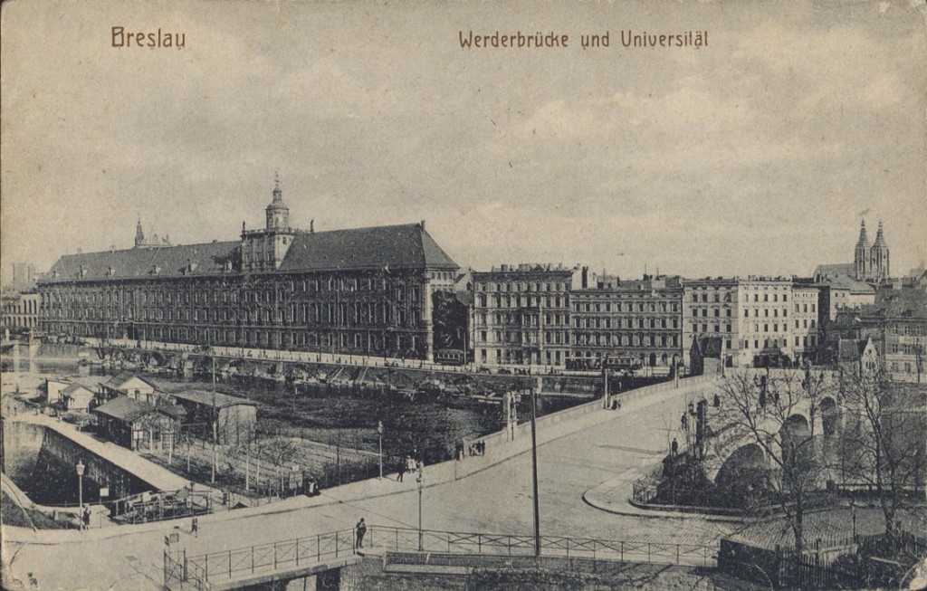
(…) As soon as the river rolls under the bridge [formerly the Long Bridge, today – the University Bridge]it is separated once more and falls into numerous mill wheels. At the farthest shore located is a paper mill, and on the opposite side the other, which grounds bark for the tanners. On this side located is a heaped pile of brushwood and stones, reinforced with piles. It does not allow for the free flow of waves. Here, too, there is a building, in which cloth is fulled with the wheels. Below there is a beautiful gristmill.
Bartolomeus Stein, Renaissance description of Wrocław
ODRA TRAIL:
- Stopień wodny Opatowice, Śluza Opatowice
- Stopień wodny Bartoszowice, Śluza Bartoszowice
- Przystań ZOO, Port STANICA, Port RANCZO
- Przystań Zwierzyniecka, Most Zwierzyniecki, Kanał Miejskiego
- Szczytniki Barrage, Szczytniki Lock
- Wyspiański Shore
- Ujście rzeki Oława, Port Węglowy, Odra Centrum
- Grunwaldzki Bridge
- Kanał Żeglugowy, Śluza Zacisze
- Boulevard of Lech and Maria Kaczyński
- Gondola Bay
- Boulevard of Xawery Dunikowski
- Włostowic boulevard
- Most Tumski, Mosty Młyńskiej
- Sand Bridge, the Tamka Island
- The upper barrage, Sand Lock
- Słodowa Island
- Most Uniwersytecki, Marina
- The lower barrage – Burgher’s Lock
- Mieszczański Stopień Wodny, Elektrownie wodne
- Port Miejski, Kępa Mieszczańska
- Stopień wodny Różanka, Śluza Różanka
- Barrage Psie Pole, The City Lock
- Most Milenijny, Zimowisko Barek Osobowice 1
- Port Popowice
- Zimowisko Barek Osobowice 1
- Stocznia Kozanów
- Stopień wodny Rędzin, Śluzy Rędzin
- Home page
See also our Partner: www.WroclawNadOdra.pl [eng]
 See location on the map




 wybrzeże Juliusza Słowackiego 5B, 50-406 Wrocław
 512 40 60 70


