Odra Trail – Gondola Bay [11]
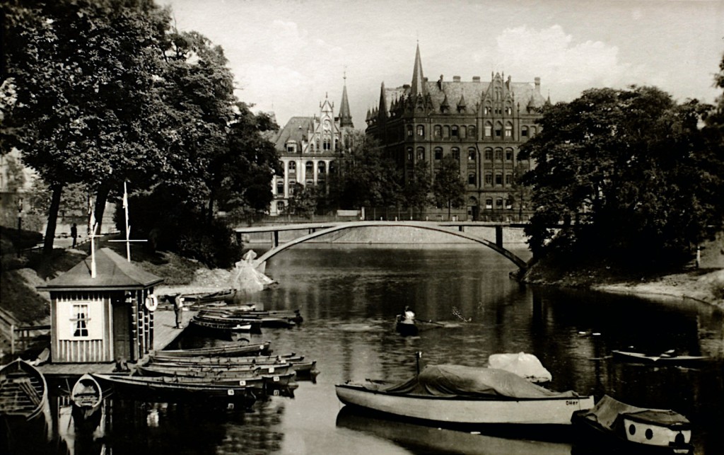
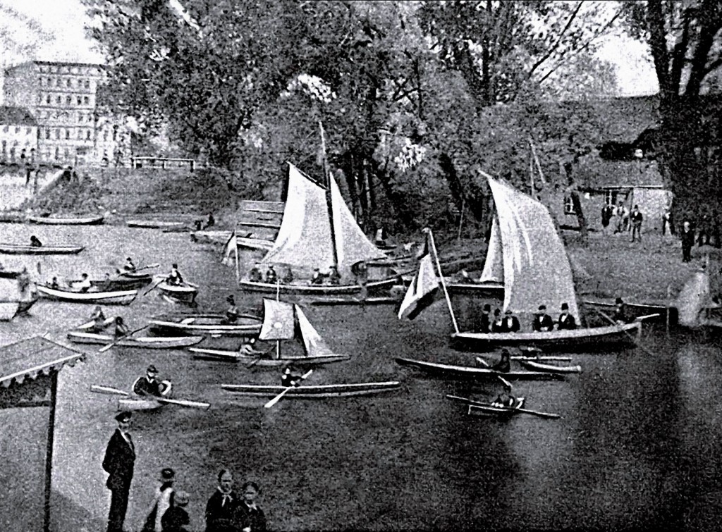
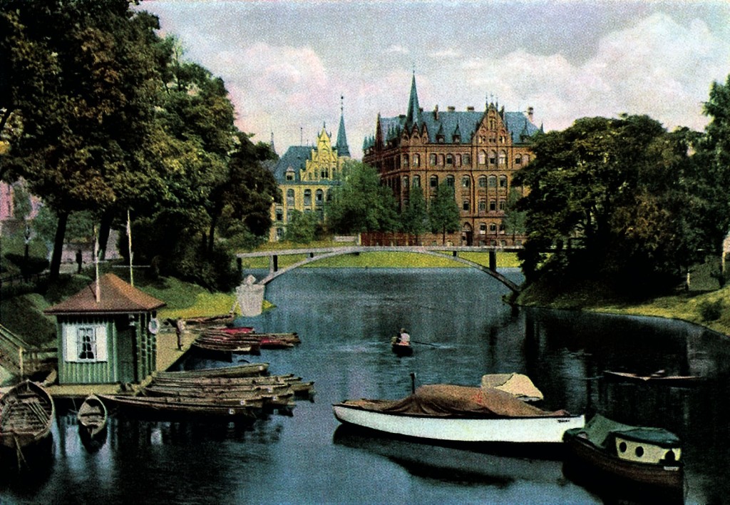
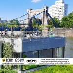
Gondola Bay is a relic of the old mouth of the left tributary of Odra, river Olawa, which now flows into Odra above the Grunwaldzki bridge. Contemporary name of the bay refers to the one used until the end of the Second World War – „Gondelhafen”.
Wrocław administration changed the course of Oława three times. When in the thirteenth century they built city walls, water of the river was directed to lower wetland area, supplying city moat. River estuary was then at the City Arsenal. Over the moat arose mills, city baths located near the city gates and craft workshops. Czarna Oława, as the inner moat was called, was flowing in a shallow trough and over time has become very polluted. After the cholera epidemic in 1866, the city authorities decided to bury the oldest existing city moat, seeing it as a source of diseases. The estuary of Oława was moved to the location of today’s Gondola Bay. Already in the 1980s, the course of the river was shortened again, leaving only a small cove, next to a popular walk destination – Old Town Promenade and panoramic hill, created on the site of Brick Bastion.
Już w latach 80. XIX w. ponownie skrócono bieg rzeki, przesuwając ujście Oławy w górę Odry, w obecne miejsce. Zasypano wtedy część fosy łączącej się z Oławą na odcinku przy al. Słowackiego i ul. Purkyniego, zostawiając jedynie niewielki fragment – małą zatoczkę sąsiadującą z Promenadą Staromiejską, popularnym miejscem spacerów, i z widokowym wzgórzem powstałym na miejscu Bastionu Ceglarskiego.
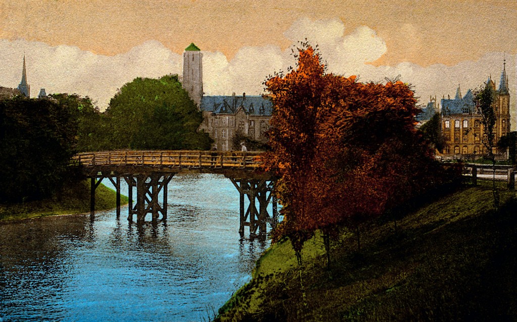
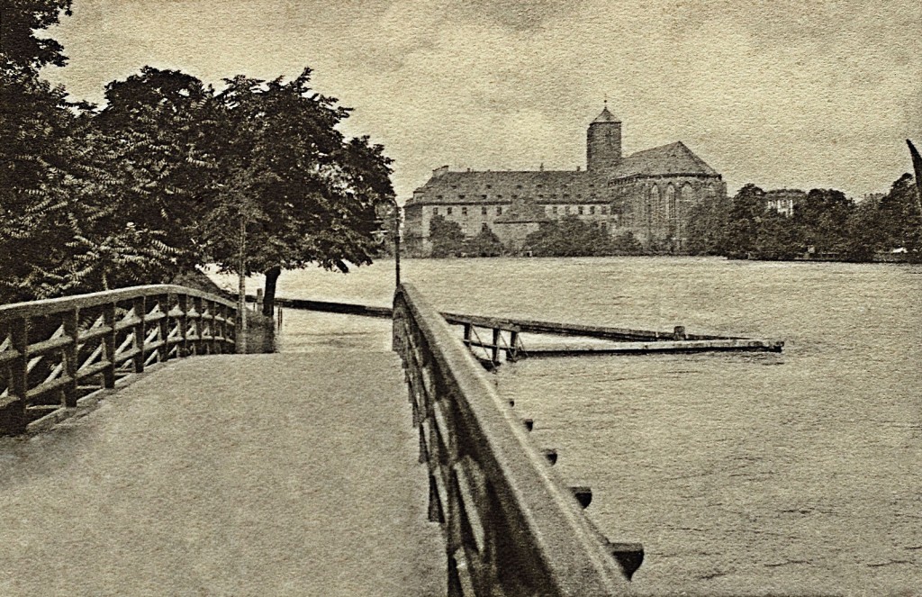
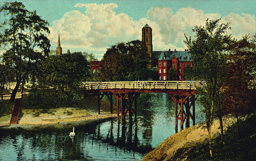
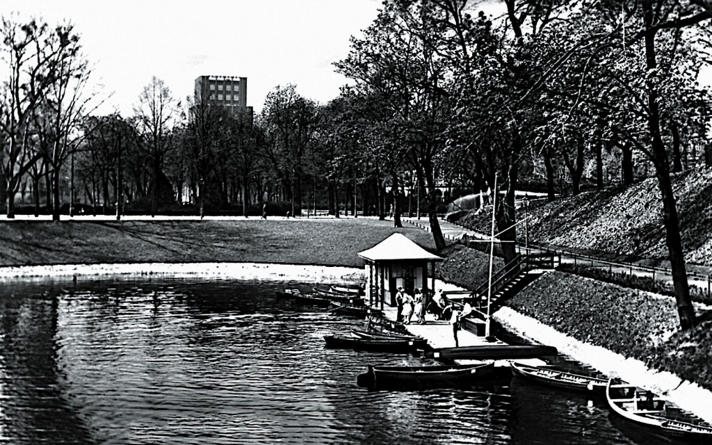
In 1886, nearby was erected the building of Silesian Regency that is Provincial Executive of Silesia (today the building of the National Museum) and the bay, located next to the elegant building, was cleared. New additions included a harbour for boats and a short-lived facility renting boats resembling in shape Italian gondolas. Inhabitants of Wrocław could start here short scenic cruises on Odra – as the bay is facing the oldest part of Wrocław, called Ostrów Tumski – or begin slightly longer expeditions to the east to Rakowiec, Siedlec and Trestno. Wooden footbridge connecting two parts of Odra boulevard, was replaced in 1928 with a concrete bridge.
In 2009, after cleaning the shores and desilting water, the bay was adjusted to become a harbour with water sports equipment rental.
As a result of frost, Odra is covered with icy mirror, which, strangely during the holidays, crowds of skaters enjoyed themselves drawing various zigzags, more or less artificial, on the frozen river or riding in sledges, the game so loved by fairer of the sexes. The braver of them, not necessarily so few, arm their feet, often not so tiny, in ice skates, and, raising their dresses into festoons, do clever tricks on glassy coating of the river.
Tygodnik Ilustrowany January 1, 1865 [unofficial translation]
- Zatoka Gondoli
- Zatoka Gondoli
- Zatoka Gondoli
- Zatoka Gondoli
- Zatoka Gondoli
- Zatoka Gondoli
- Zatoka Gondoli
- Zatoka Gondoli
- Zatoka Gondoli
- Zatoka Gondoli
- Zatoka Gondoli
- Zatoka Gondoli
ODRA TRAIL:
- Stopień wodny Opatowice, Śluza Opatowice
- Stopień wodny Bartoszowice, Śluza Bartoszowice
- Przystań ZOO, Port STANICA, Port RANCZO
- Przystań Zwierzyniecka, Most Zwierzyniecki, Kanał Miejskiego
- Szczytniki Barrage, Szczytniki Lock
- Wyspiański Shore
- Ujście rzeki Oława, Port Węglowy, Odra Centrum
- Grunwaldzki Bridge
- Kanał Żeglugowy, Śluza Zacisze
- Boulevard of Lech and Maria Kaczyński
- Gondola Bay
- Boulevard of Xawery Dunikowski
- Włostowic boulevard
- Most Tumski, Mosty Młyńskiej
- Sand Bridge, the Tamka Island
- The upper barrage, Sand Lock
- Słodowa Island
- Most Uniwersytecki, Marina
- The lower barrage – Burgher’s Lock
- Mieszczański Stopień Wodny, Elektrownie wodne
- Port Miejski, Kępa Mieszczańska
- Stopień wodny Różanka, Śluza Różanka
- Barrage Psie Pole, The City Lock
- Most Milenijny, Zimowisko Barek Osobowice 1
- Port Popowice
- Zimowisko Barek Osobowice 1
- Stocznia Kozanów
- Stopień wodny Rędzin, Śluzy Rędzin
- Home page
See also our Partner: www.WroclawNadOdra.pl [eng]
 See location on the map








 wybrzeże Juliusza Słowackiego 5B, 50-406 Wrocław
 512 40 60 70


